Weed, New Mexico
Browse Categories
Popular Categories
Weed, NM
Weed, NM
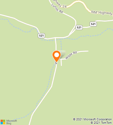
Weed is a census-designated place in Otero County in southern New Mexico, USA. It lies alongside New Mexico State Road 24 on the eastern slopes of the Sacramento Mountains at an elevation of 7,047 ft. It has had a Post Office since 1885. Wikipedia
County: Otero County
Elevation: 7,047 ft (2,148 m)
Time Zone: Mountain Standard Time
Area Codes: 575